
Map of the route “Müritz (Sietow) – Rostock”: 53,89 km, 528 m of climbing and 595 m of descent, elevation between -9 m and 90 m. It starts at 53.43248, 12.58087 and ends at 54.14569, 12.09976 (latitude, longitude).


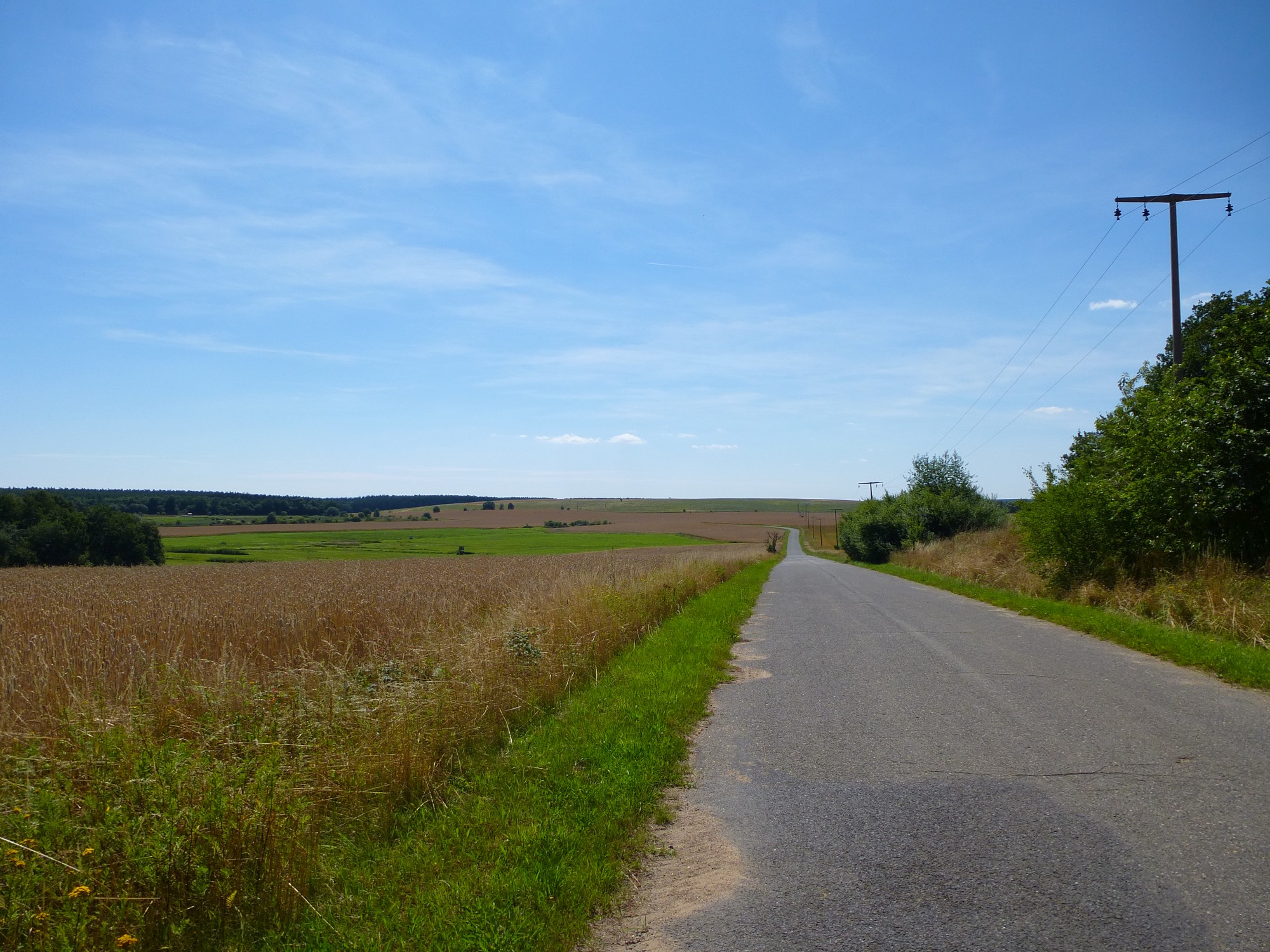


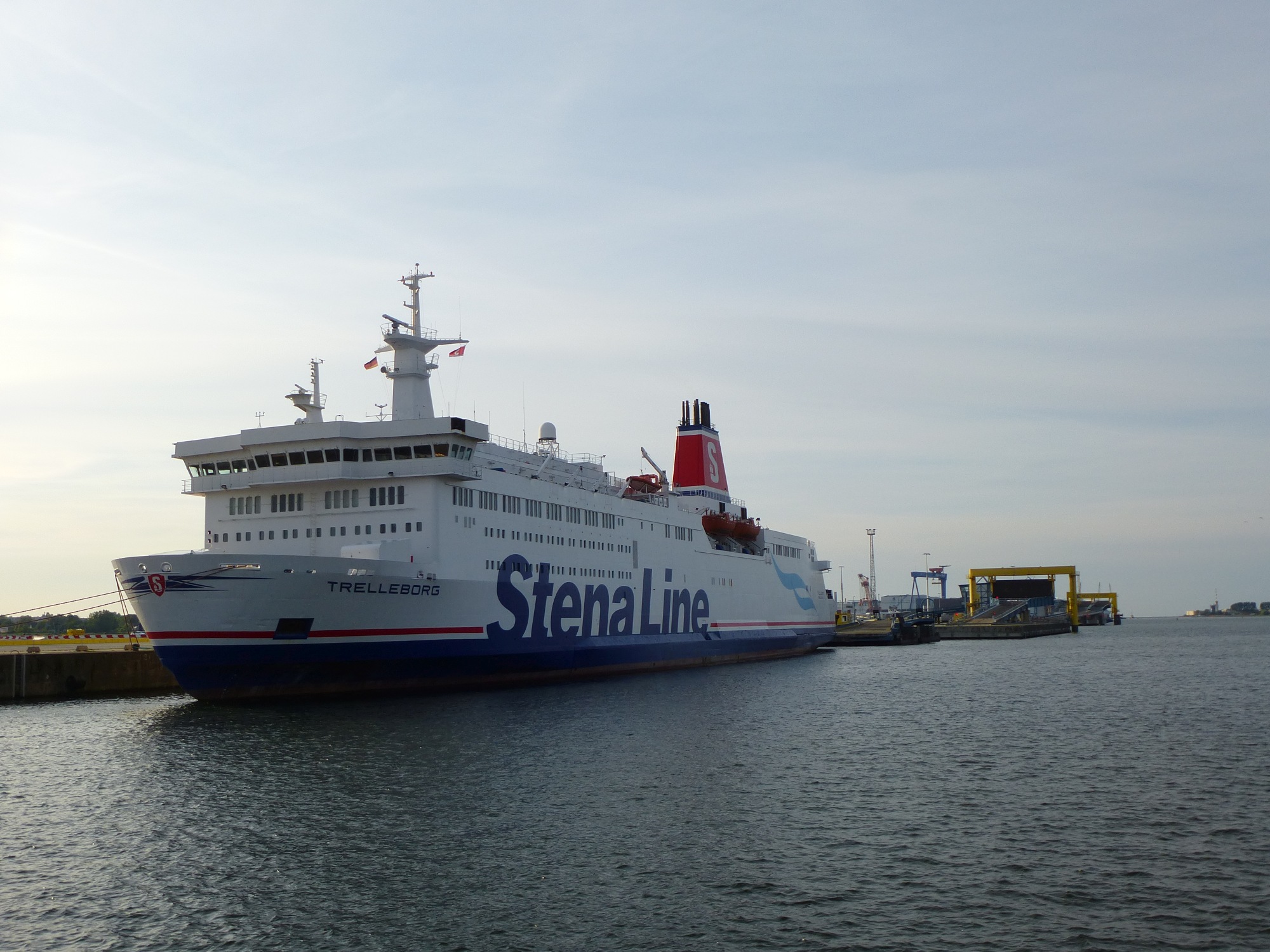
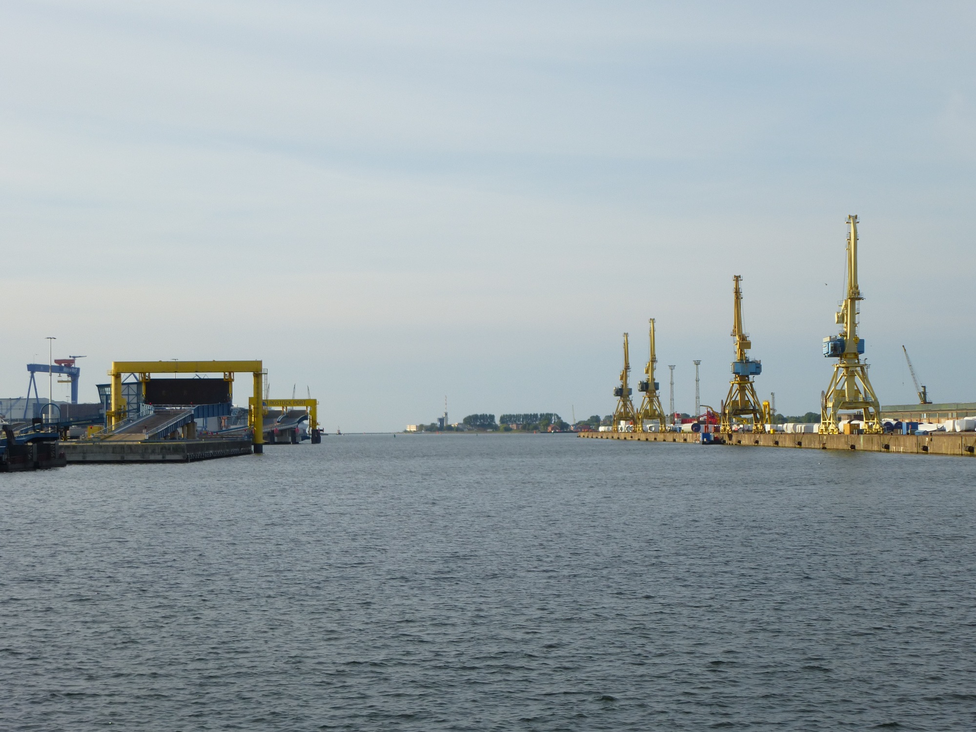


Map of the route “Müritz (Sietow) – Rostock”: 53,89 km, 528 m of climbing and 595 m of descent, elevation between -9 m and 90 m. It starts at 53.43248, 12.58087 and ends at 54.14569, 12.09976 (latitude, longitude).