
Map of the route “Fischland-Darß”: 27,61 km, 274 m of climbing and 269 m of descent, elevation between -26 m and 17 m. It is a loop that starts and ends at 54.40315, 12.49054 (latitude, longitude).

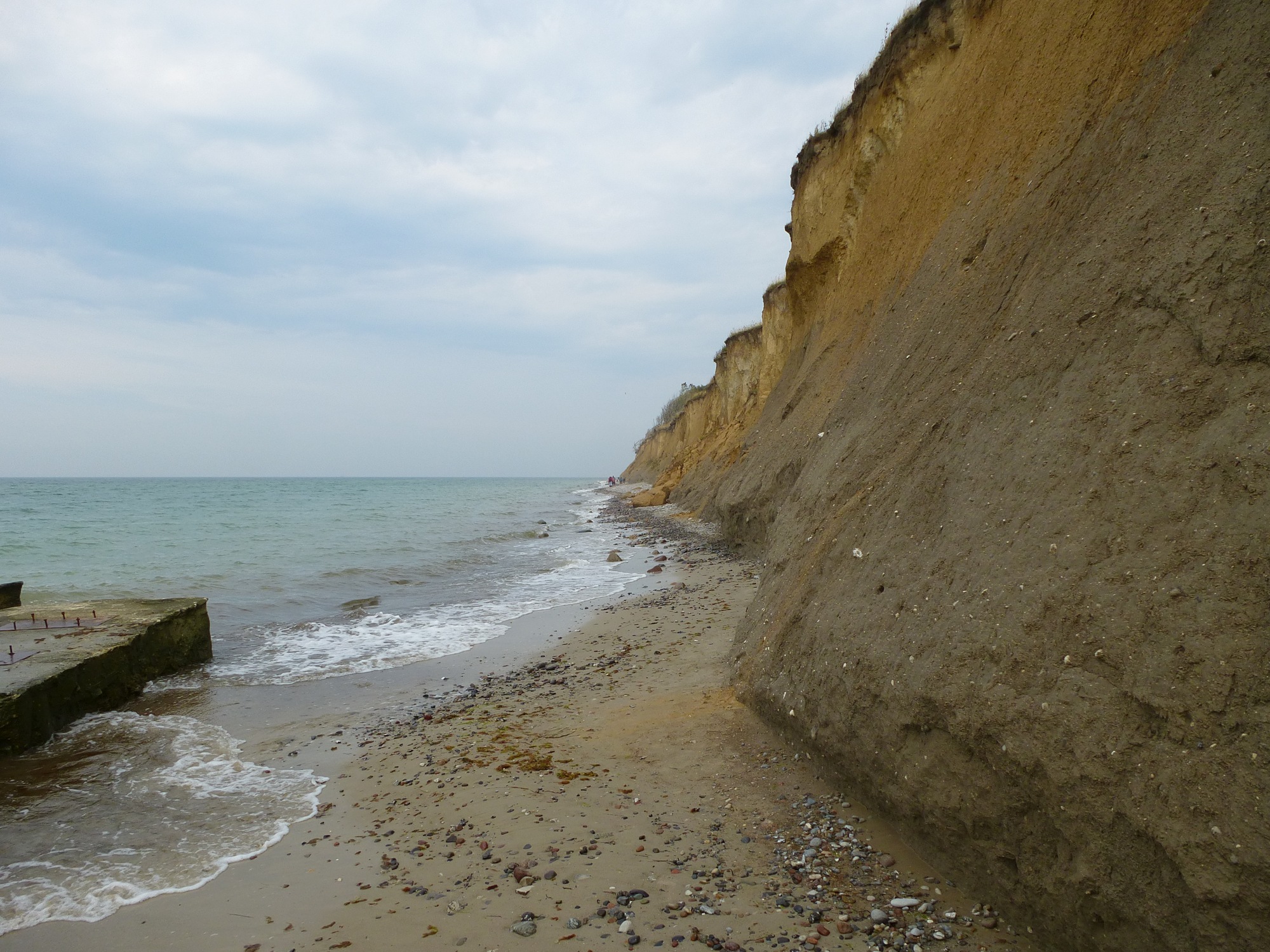


Map of the route “Fischland-Darß”: 27,61 km, 274 m of climbing and 269 m of descent, elevation between -26 m and 17 m. It is a loop that starts and ends at 54.40315, 12.49054 (latitude, longitude).