
Map of the route “Schlaubetal – Tagestour 210 km”: 209,61 km, 1.562 m of climbing and 1.568 m of descent, elevation between -6 m and 107 m. It starts at 52.40678, 13.82418 and ends at 52.44268, 13.62192 (latitude, longitude).


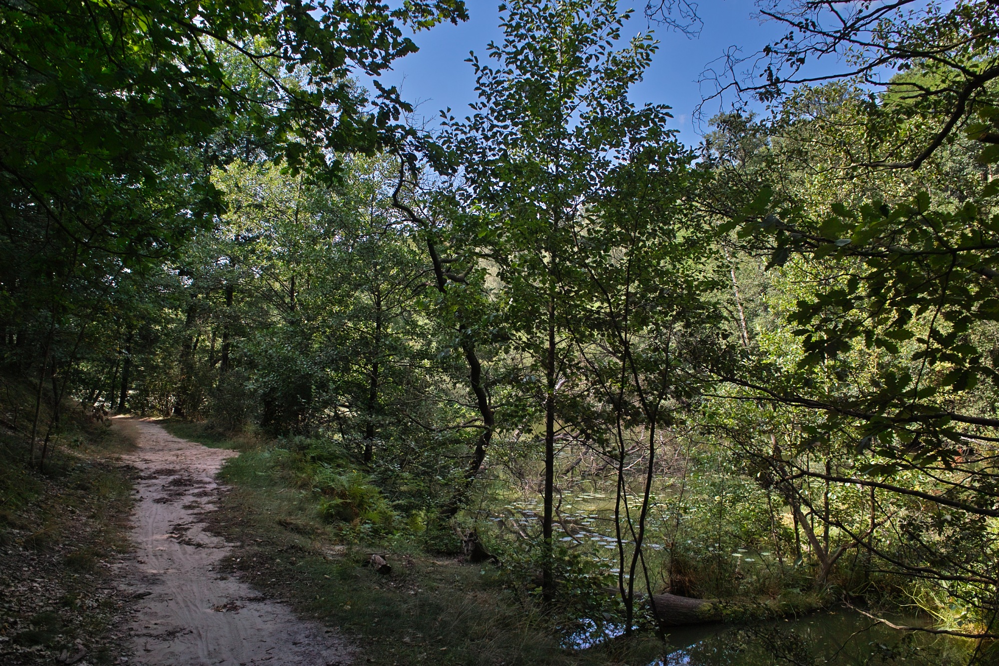
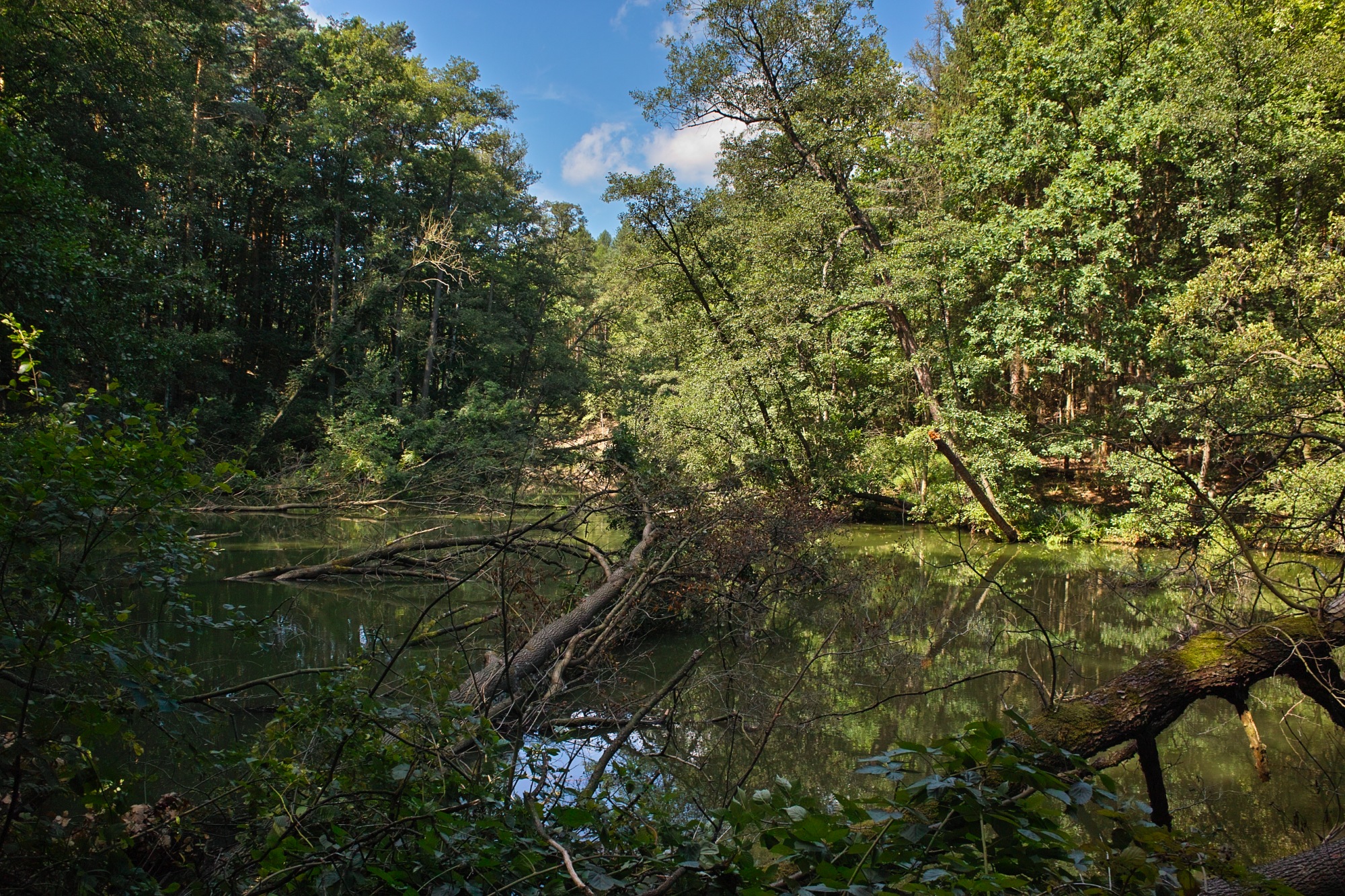


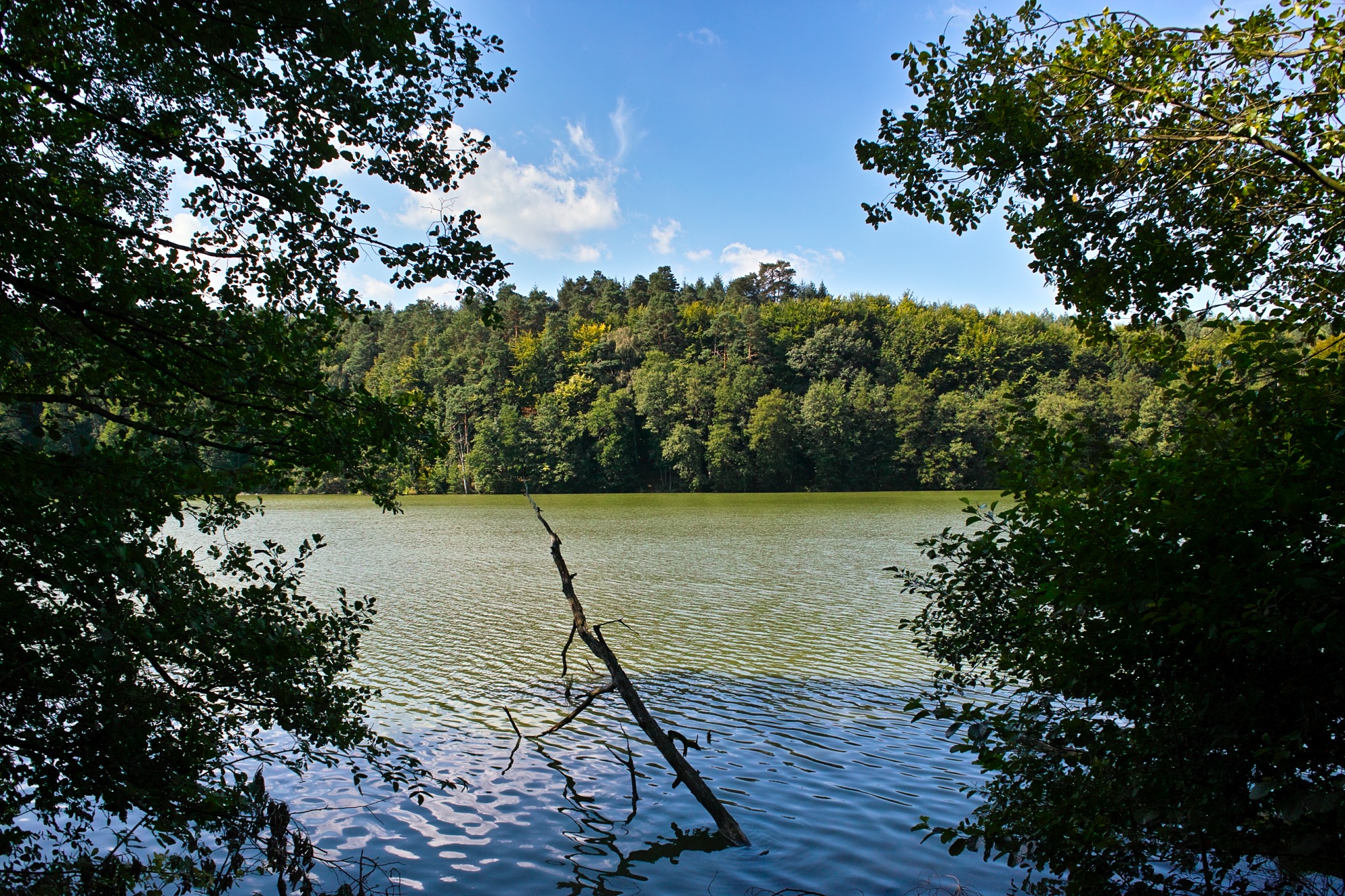


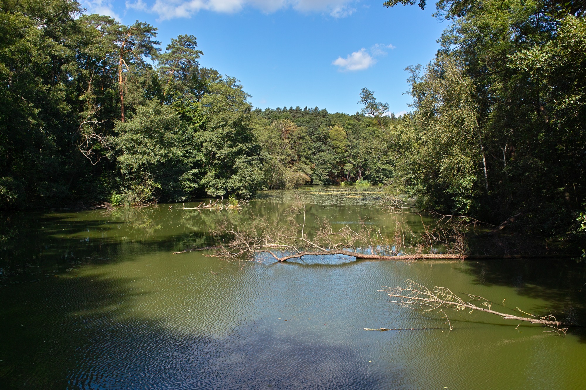




Map of the route “Schlaubetal – Tagestour 210 km”: 209,61 km, 1.562 m of climbing and 1.568 m of descent, elevation between -6 m and 107 m. It starts at 52.40678, 13.82418 and ends at 52.44268, 13.62192 (latitude, longitude).