
Map of the route “Berlin – Müritz (Sietow)”: 120,89 km, 872 m of climbing and 878 m of descent, elevation between 29 m and 110 m. It starts at 52.75453, 13.24817 and ends at 53.43088, 12.57672 (latitude, longitude).
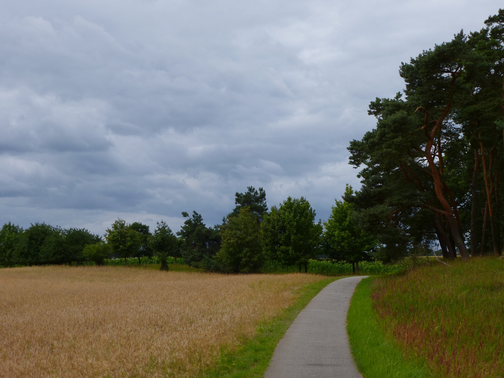


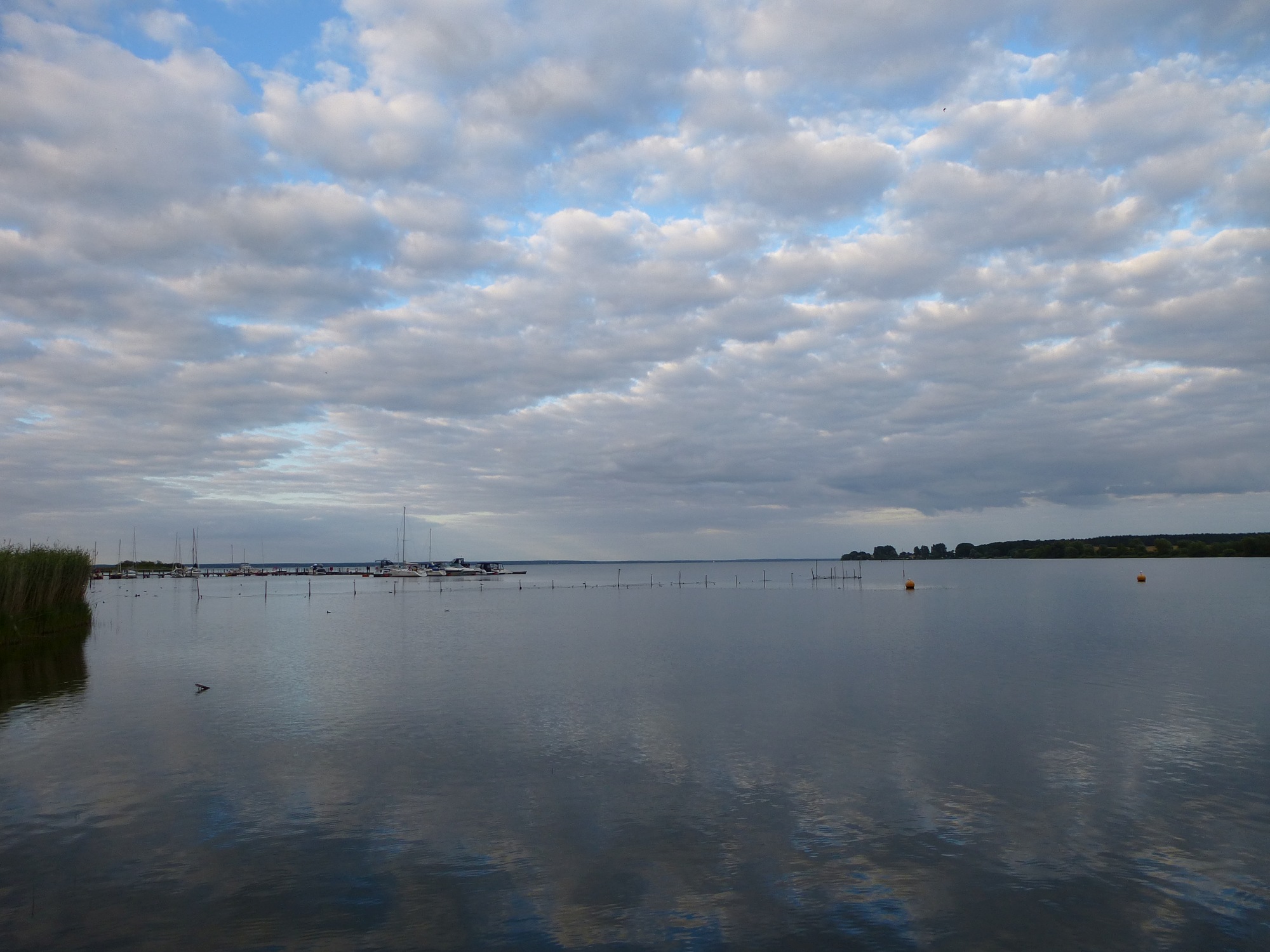


Map of the route “Berlin – Müritz (Sietow)”: 120,89 km, 872 m of climbing and 878 m of descent, elevation between 29 m and 110 m. It starts at 52.75453, 13.24817 and ends at 53.43088, 12.57672 (latitude, longitude).