
Map of the route “Nordwestpolen: Müncheberg – Głasów”: 116,31 km, 409 m of climbing and 412 m of descent, elevation between -6 m and 85 m. It starts at 52.50589, 14.13671 and ends at 52.98909, 14.90894 (latitude, longitude).


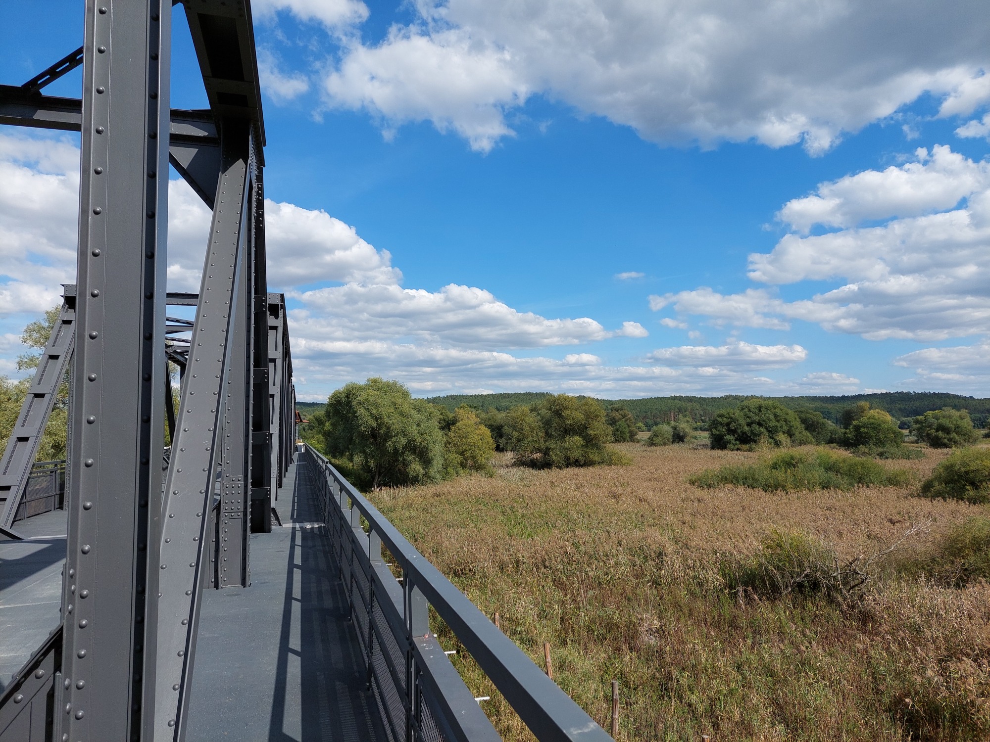
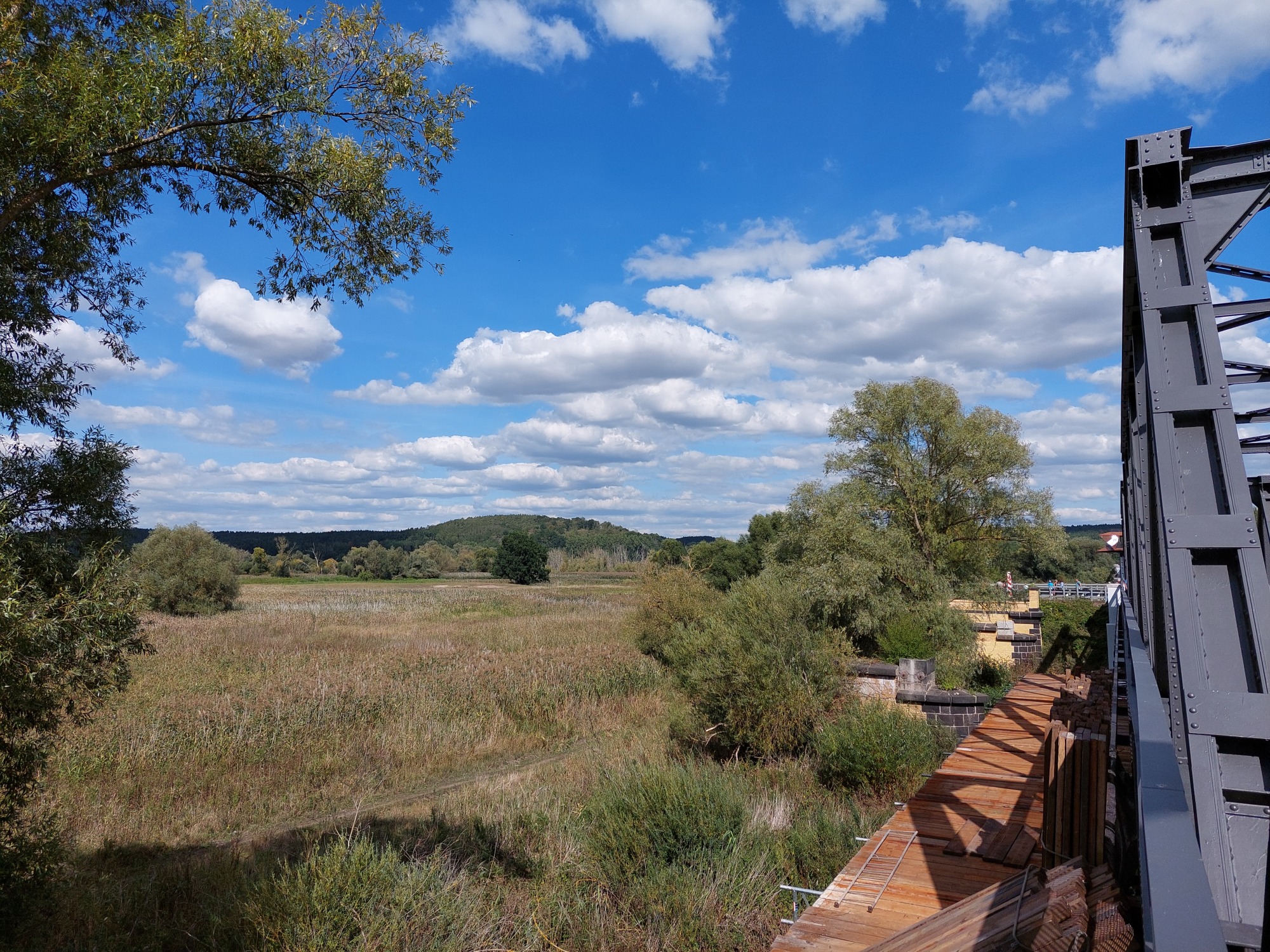


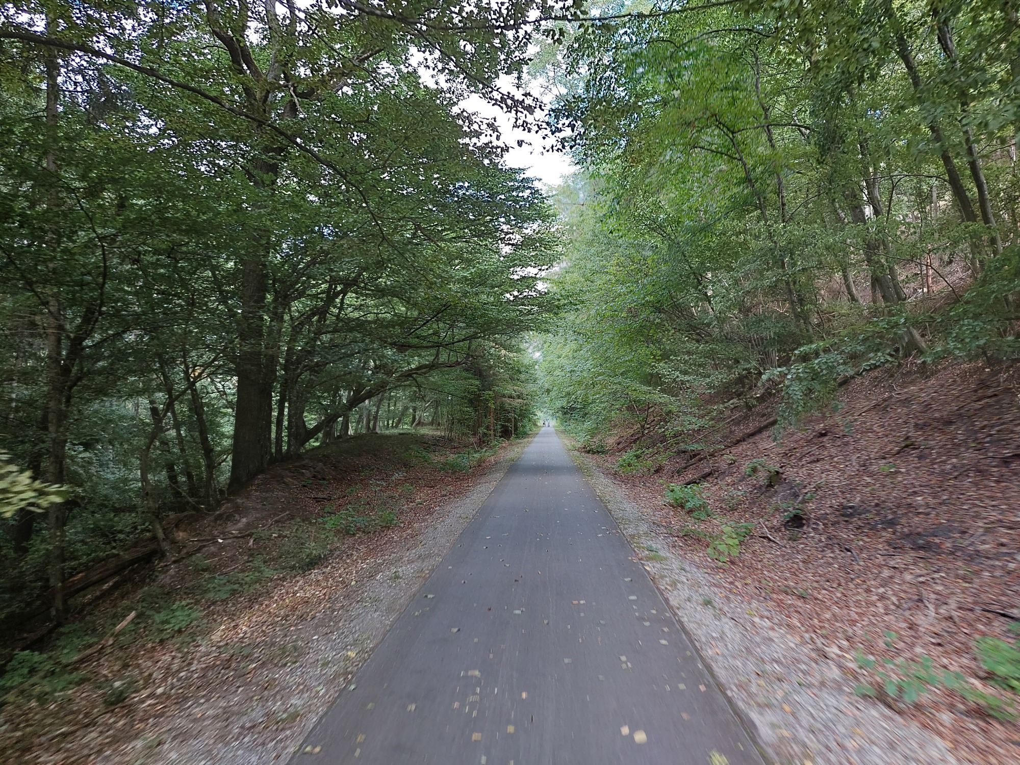


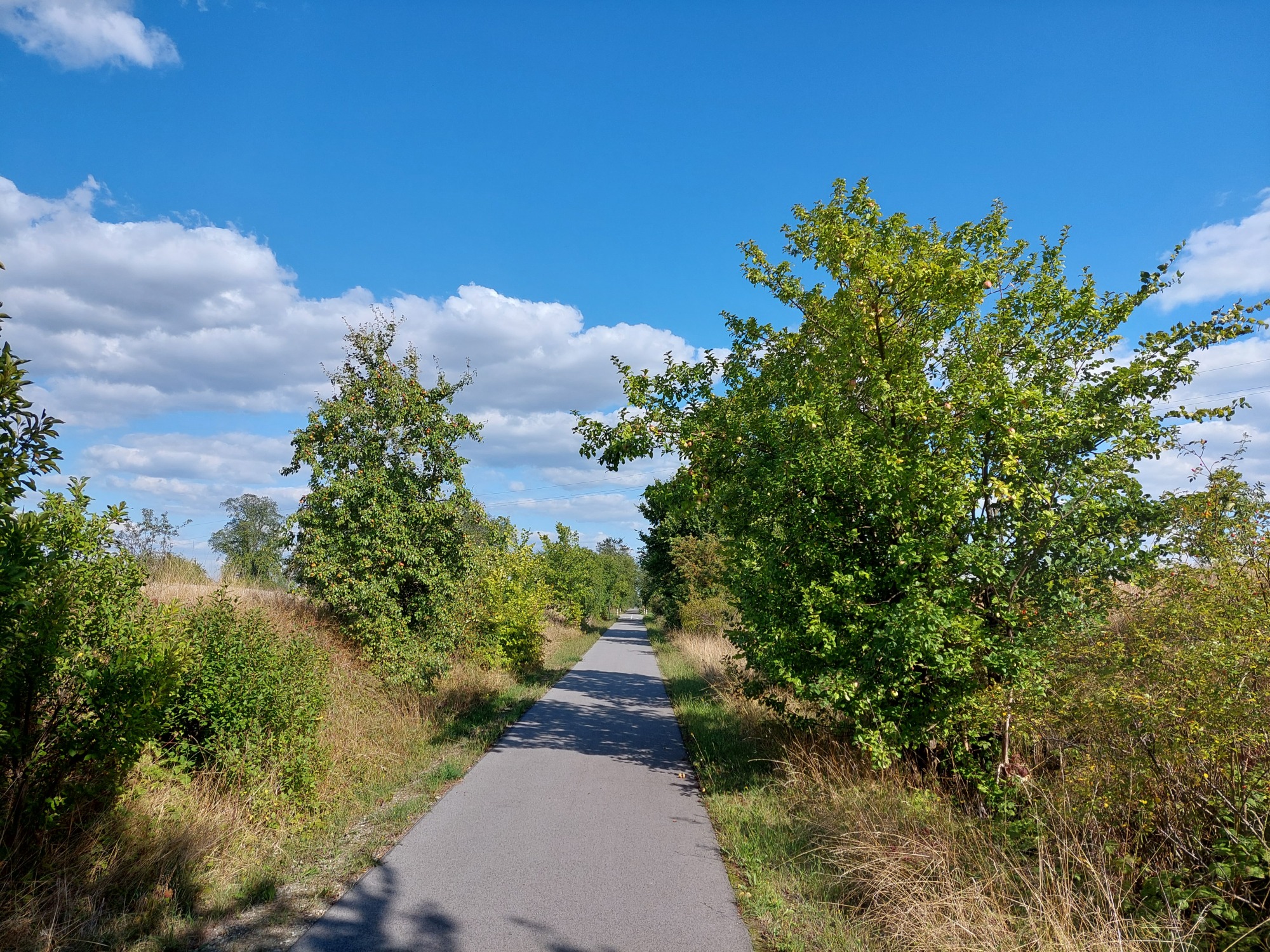


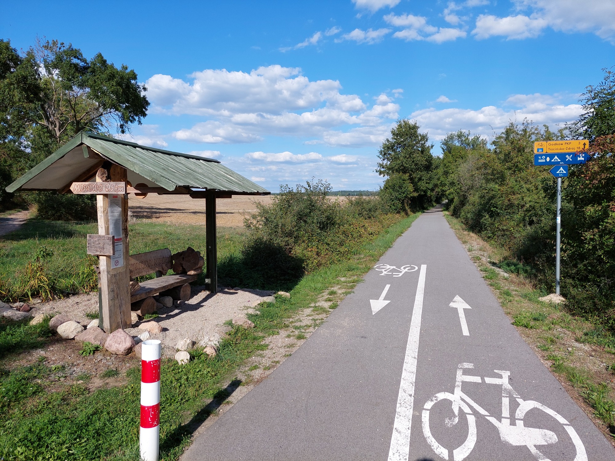


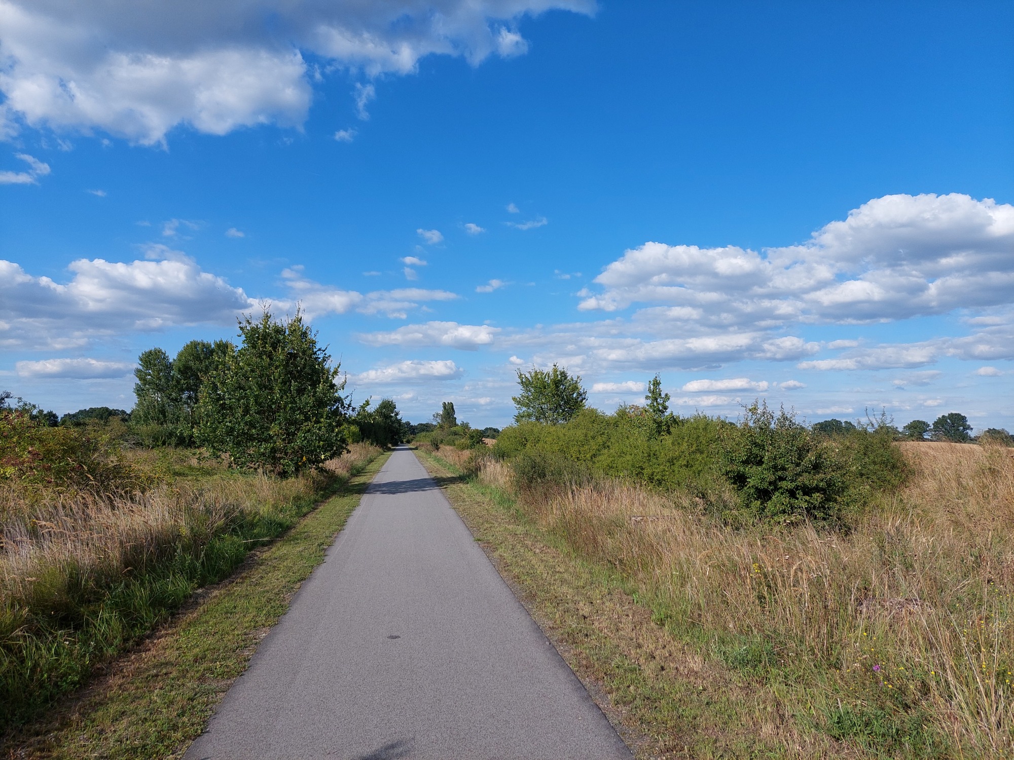


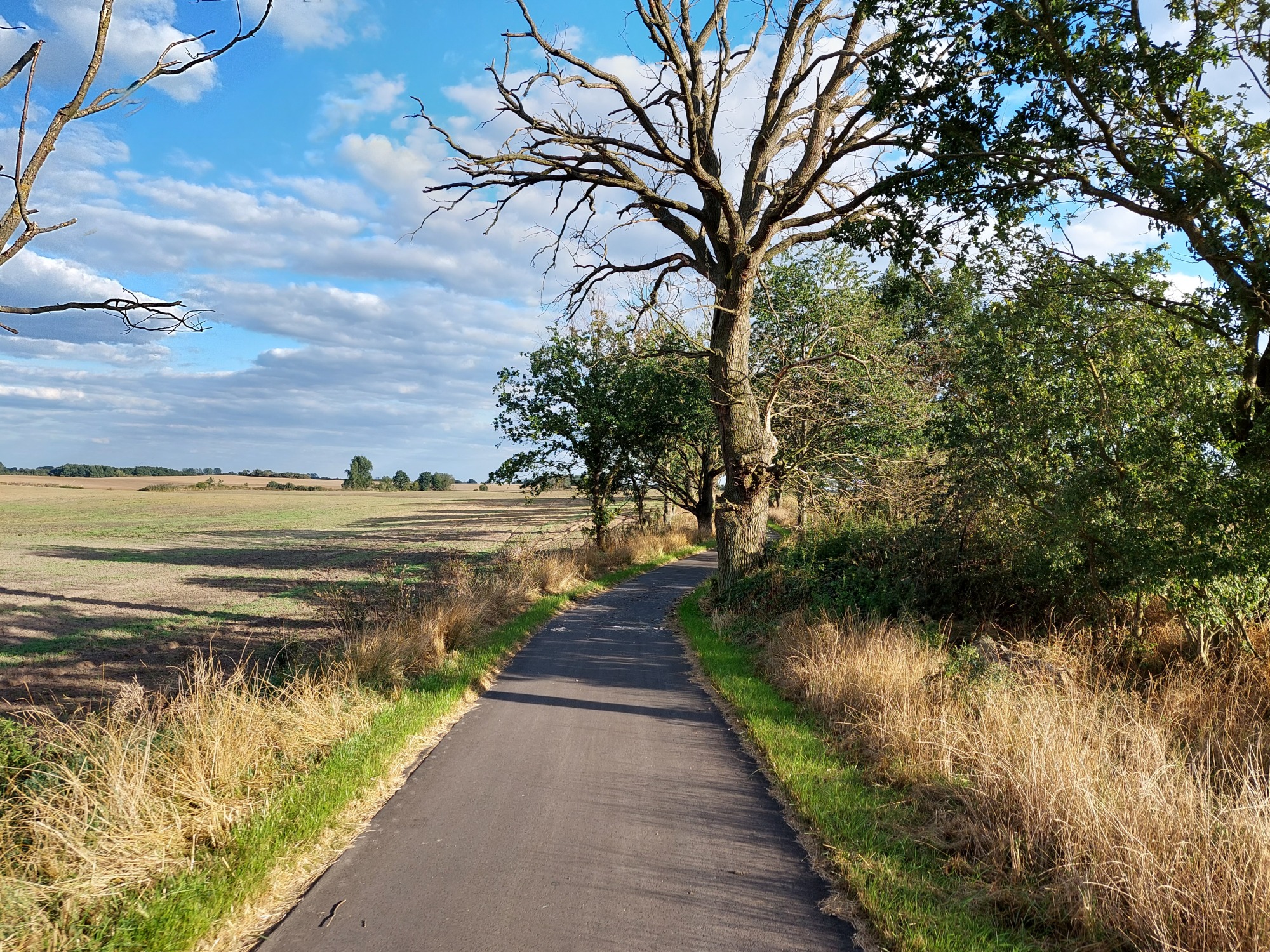


Map of the route “Nordwestpolen: Müncheberg – Głasów”: 116,31 km, 409 m of climbing and 412 m of descent, elevation between -6 m and 85 m. It starts at 52.50589, 14.13671 and ends at 52.98909, 14.90894 (latitude, longitude).