
Map of the route “Finowkanal & Oder”: 128,52 km, 762 m of climbing and 747 m of descent, elevation between -11 m and 123 m. It starts at 52.71764, 13.63651 and ends at 52.58937, 13.91023 (latitude, longitude).


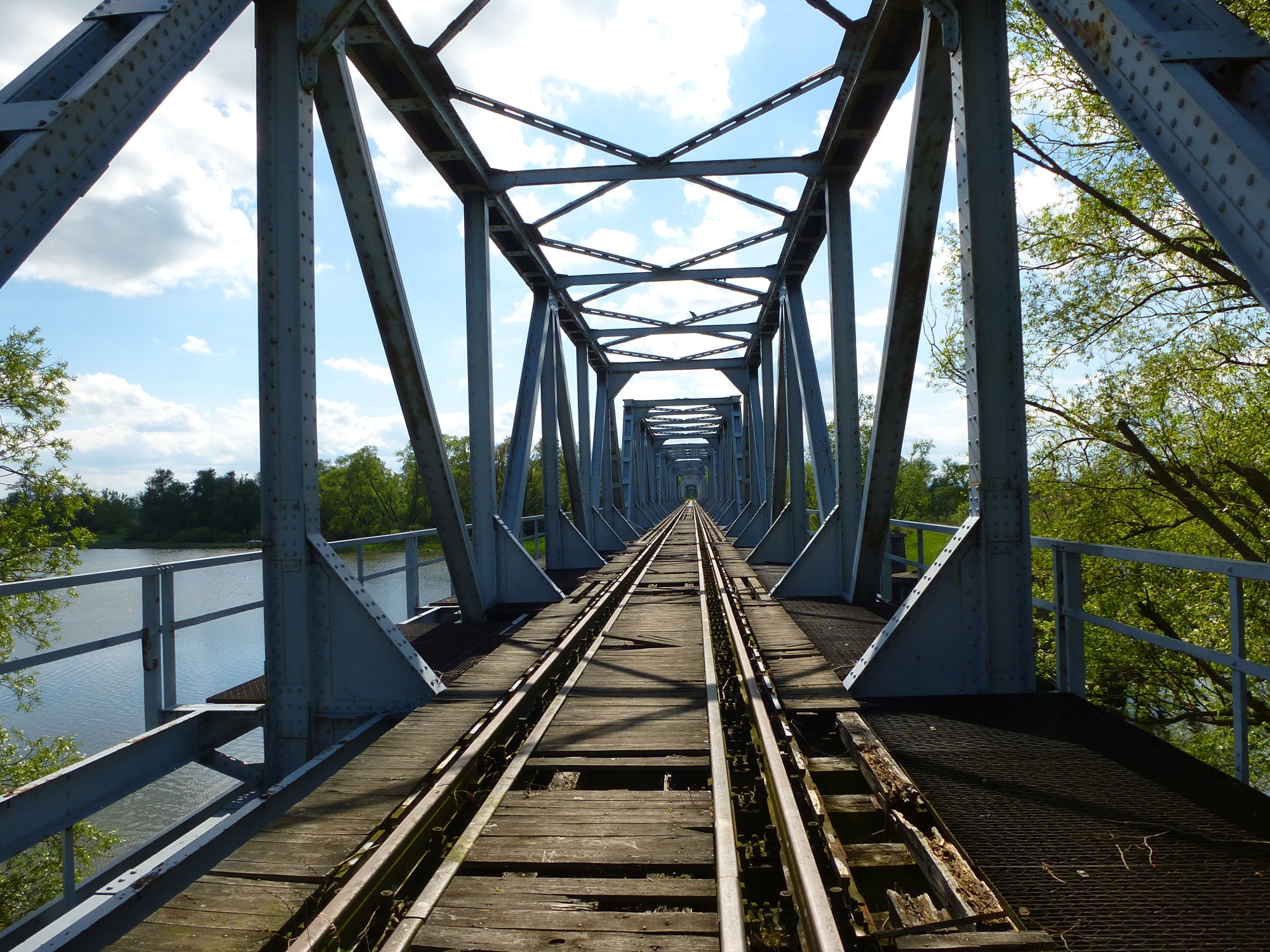


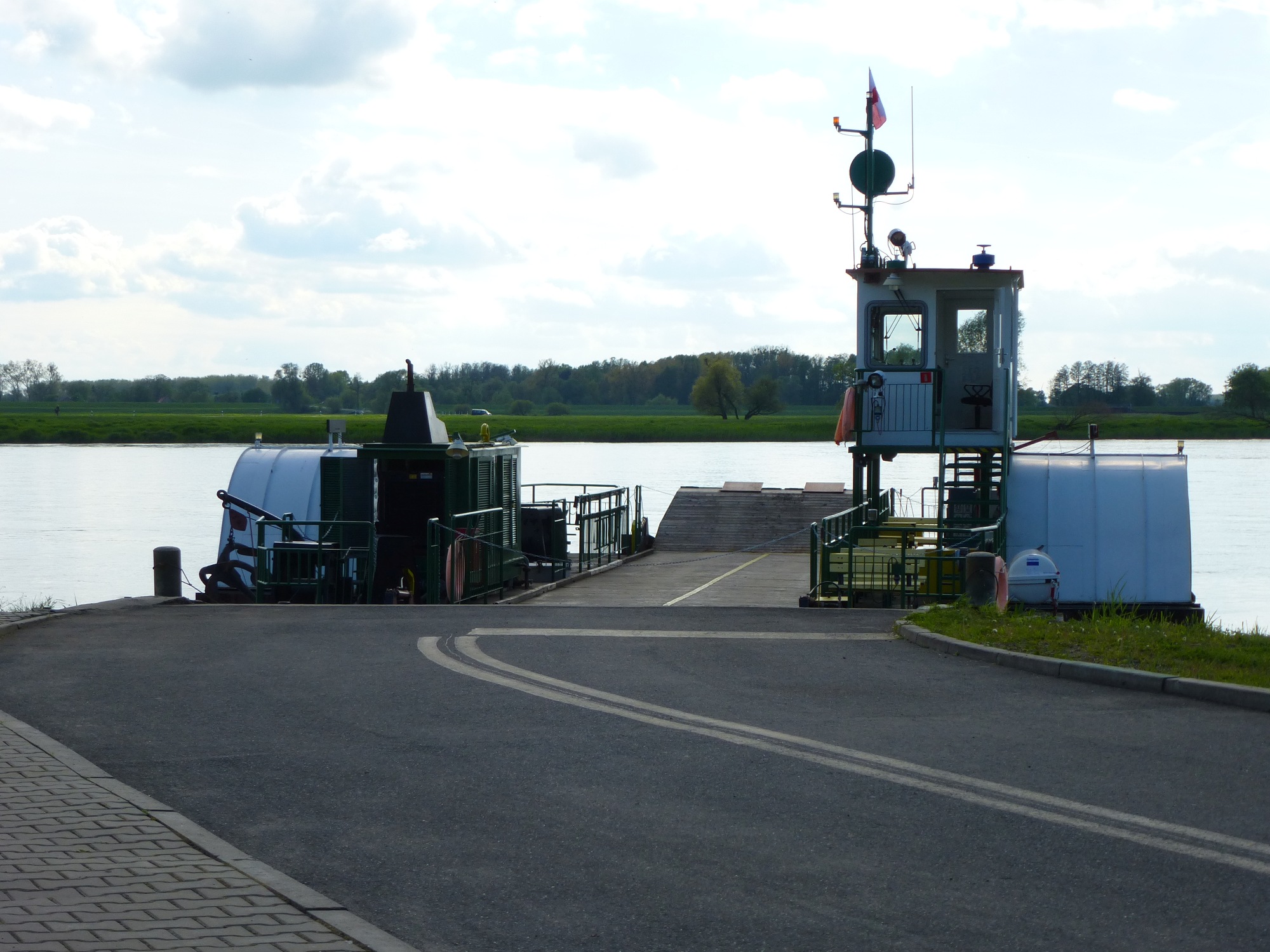

Map of the route “Finowkanal & Oder”: 128,52 km, 762 m of climbing and 747 m of descent, elevation between -11 m and 123 m. It starts at 52.71764, 13.63651 and ends at 52.58937, 13.91023 (latitude, longitude).