
Map of the route “Elbsandsteingebirge”: 24,05 km, 970 m of climbing and 965 m of descent, elevation between 208 m and 449 m. It is a loop that starts and ends at 50.92333, 14.34966 (latitude, longitude).


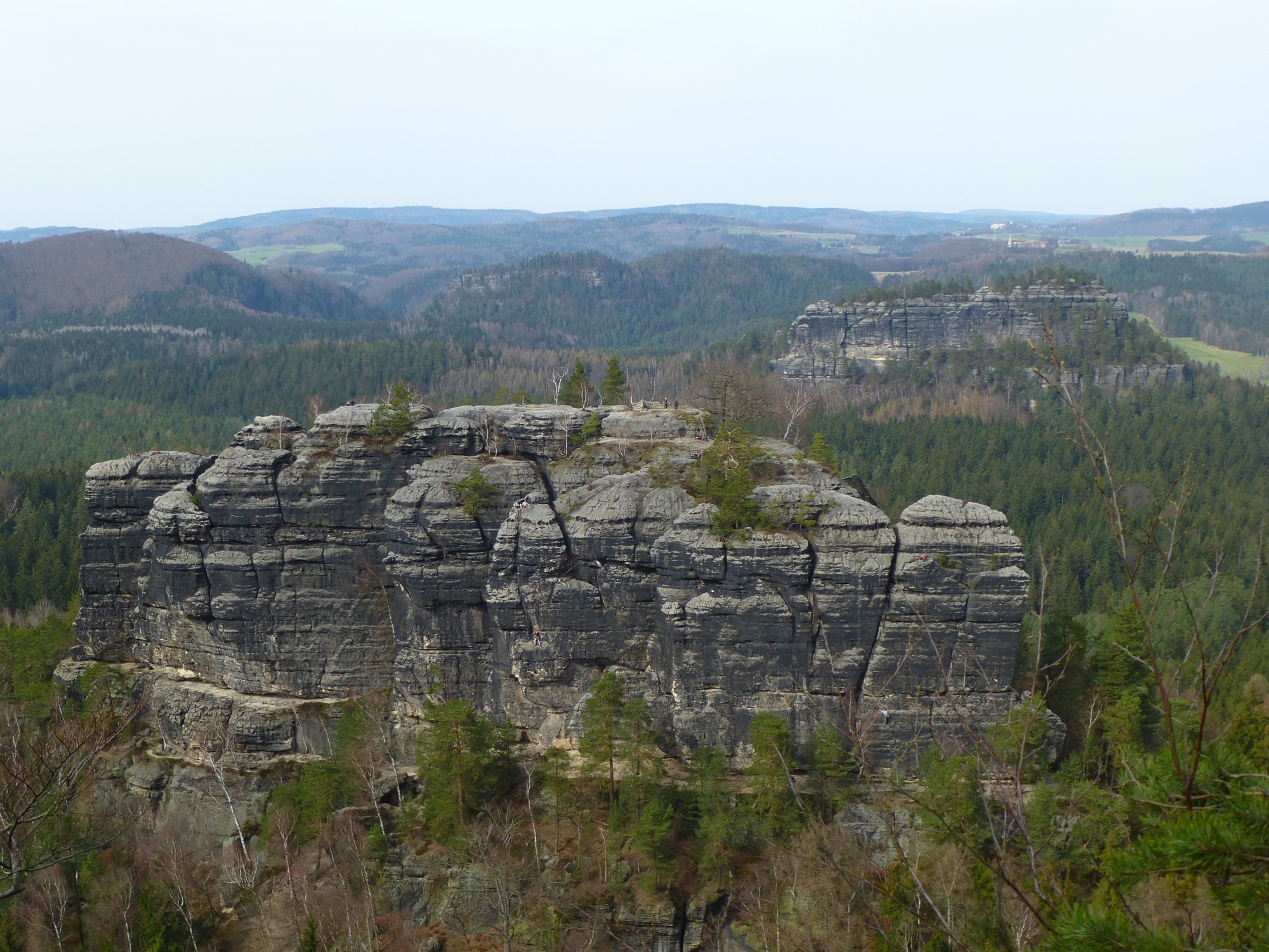


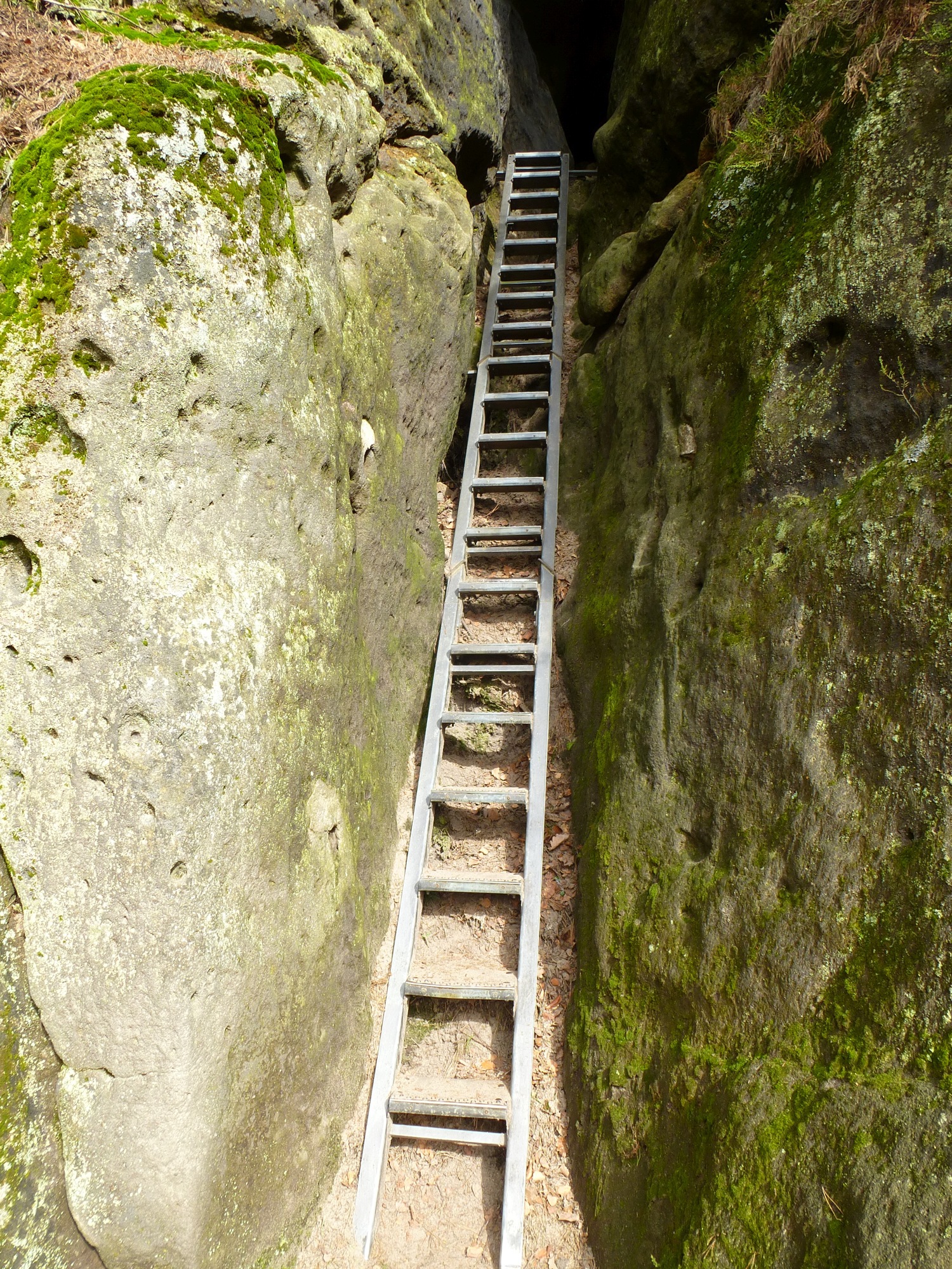


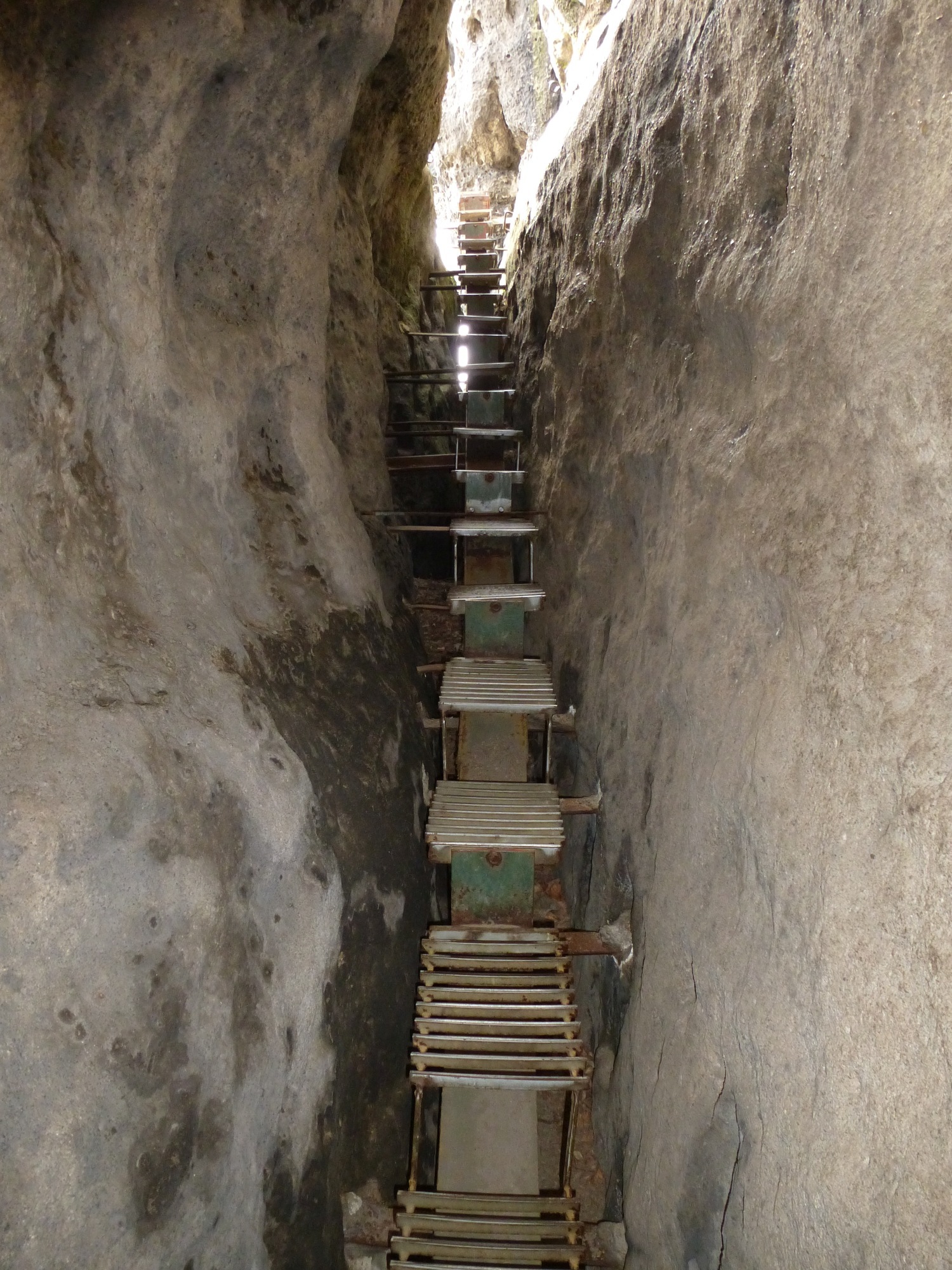


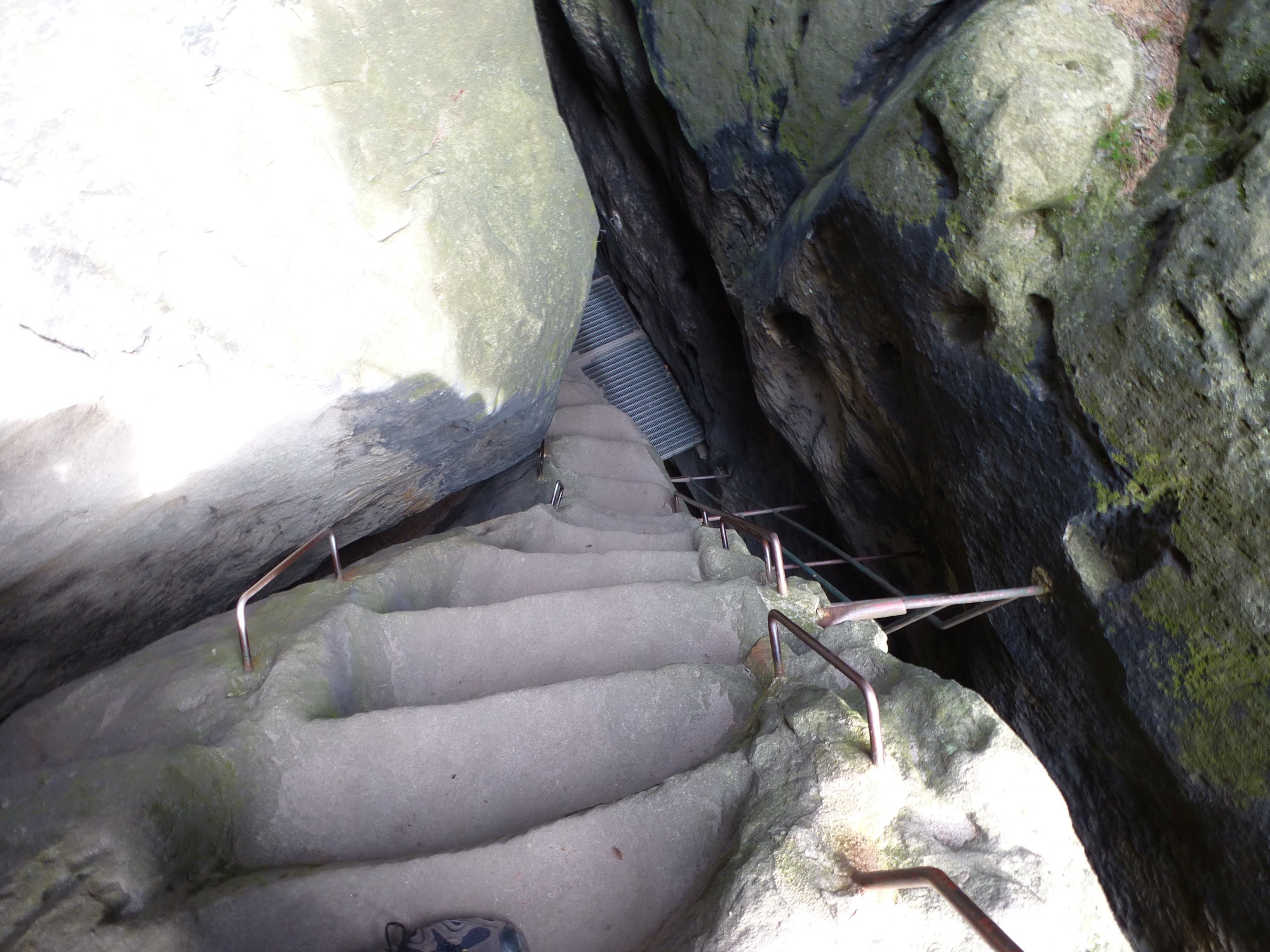




Map of the route “Elbsandsteingebirge”: 24,05 km, 970 m of climbing and 965 m of descent, elevation between 208 m and 449 m. It is a loop that starts and ends at 50.92333, 14.34966 (latitude, longitude).