
Map of the route “Berlin – Cottbus”: 221,95 km, 2.097 m of climbing and 2.093 m of descent, elevation between 27 m and 117 m. It starts at 52.30008, 13.72130 and ends at 52.40376, 13.82488 (latitude, longitude).


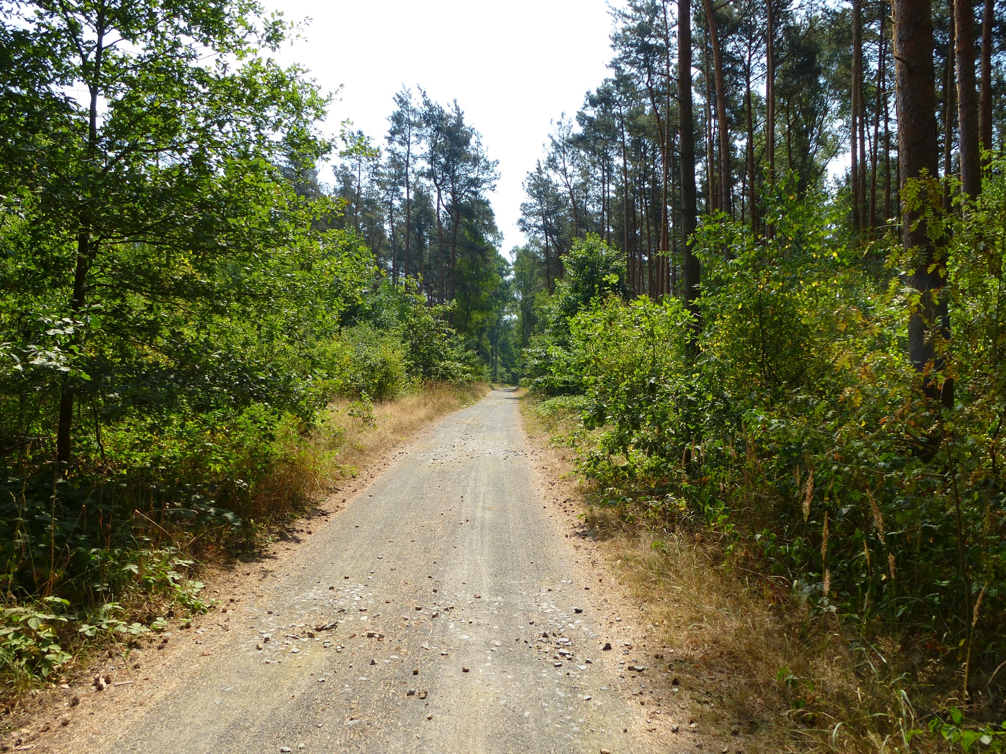


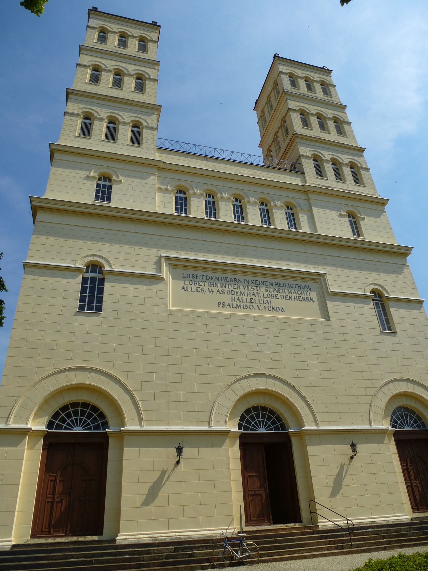


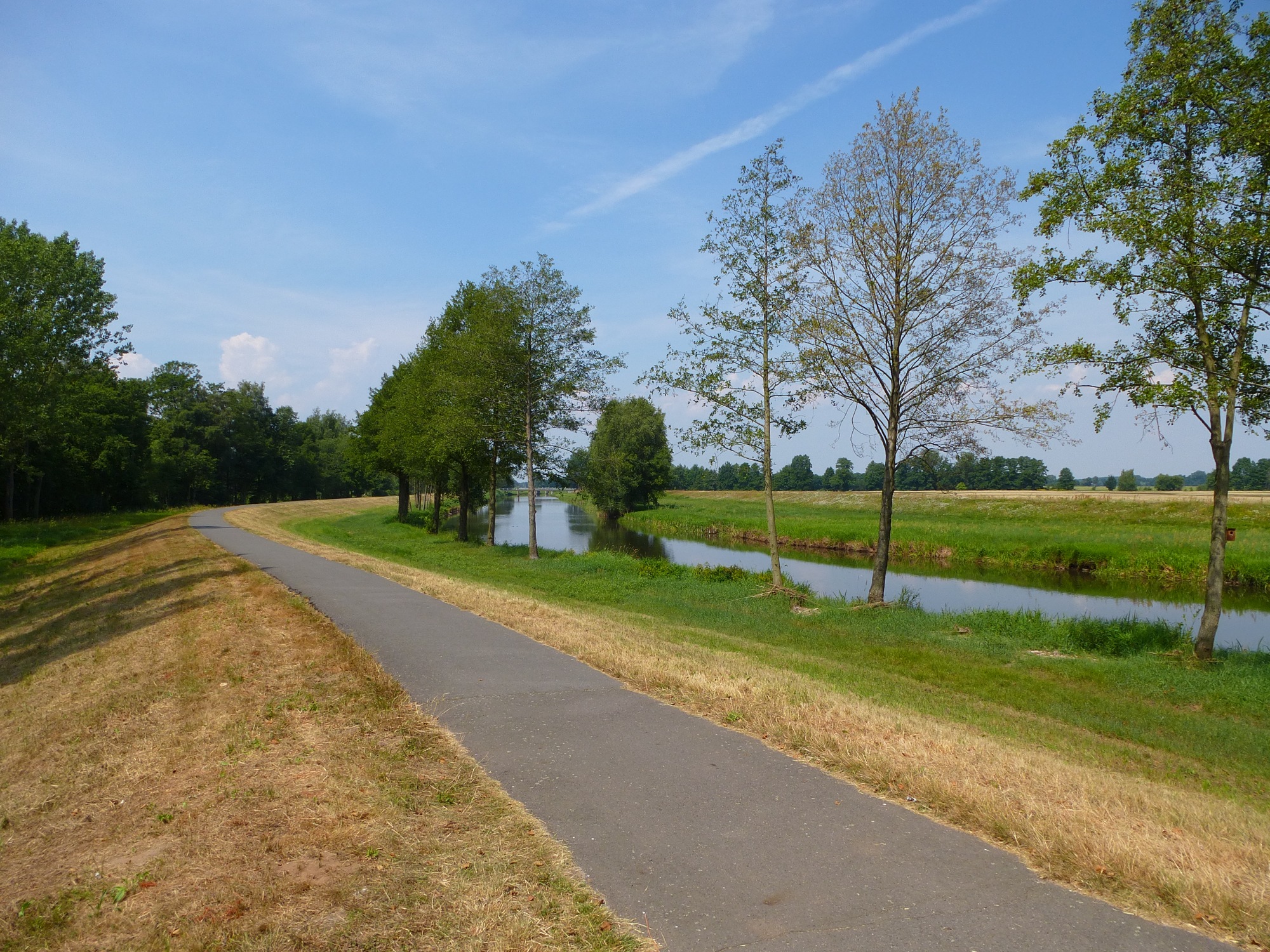


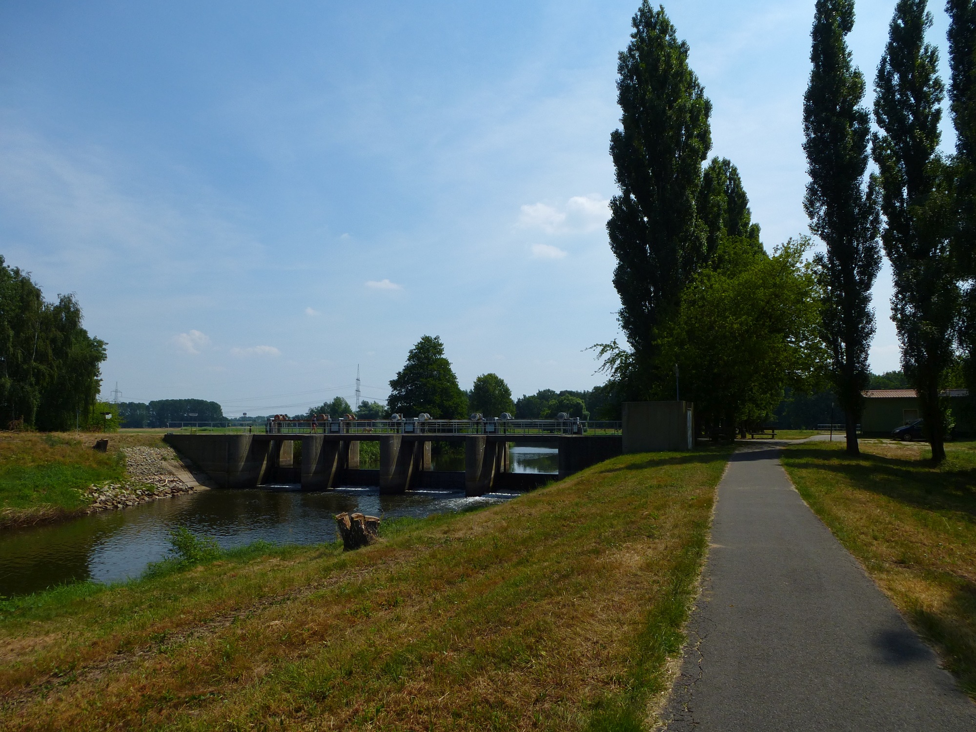


Map of the route “Berlin – Cottbus”: 221,95 km, 2.097 m of climbing and 2.093 m of descent, elevation between 27 m and 117 m. It starts at 52.30008, 13.72130 and ends at 52.40376, 13.82488 (latitude, longitude).