
Map of the route “Durch das Baruther Urstromtal”: 122,18 km, 630 m of climbing and 632 m of descent, elevation between 7 m and 78 m. It starts at 52.30010, 13.72133 and ends at 52.29668, 13.62872 (latitude, longitude).


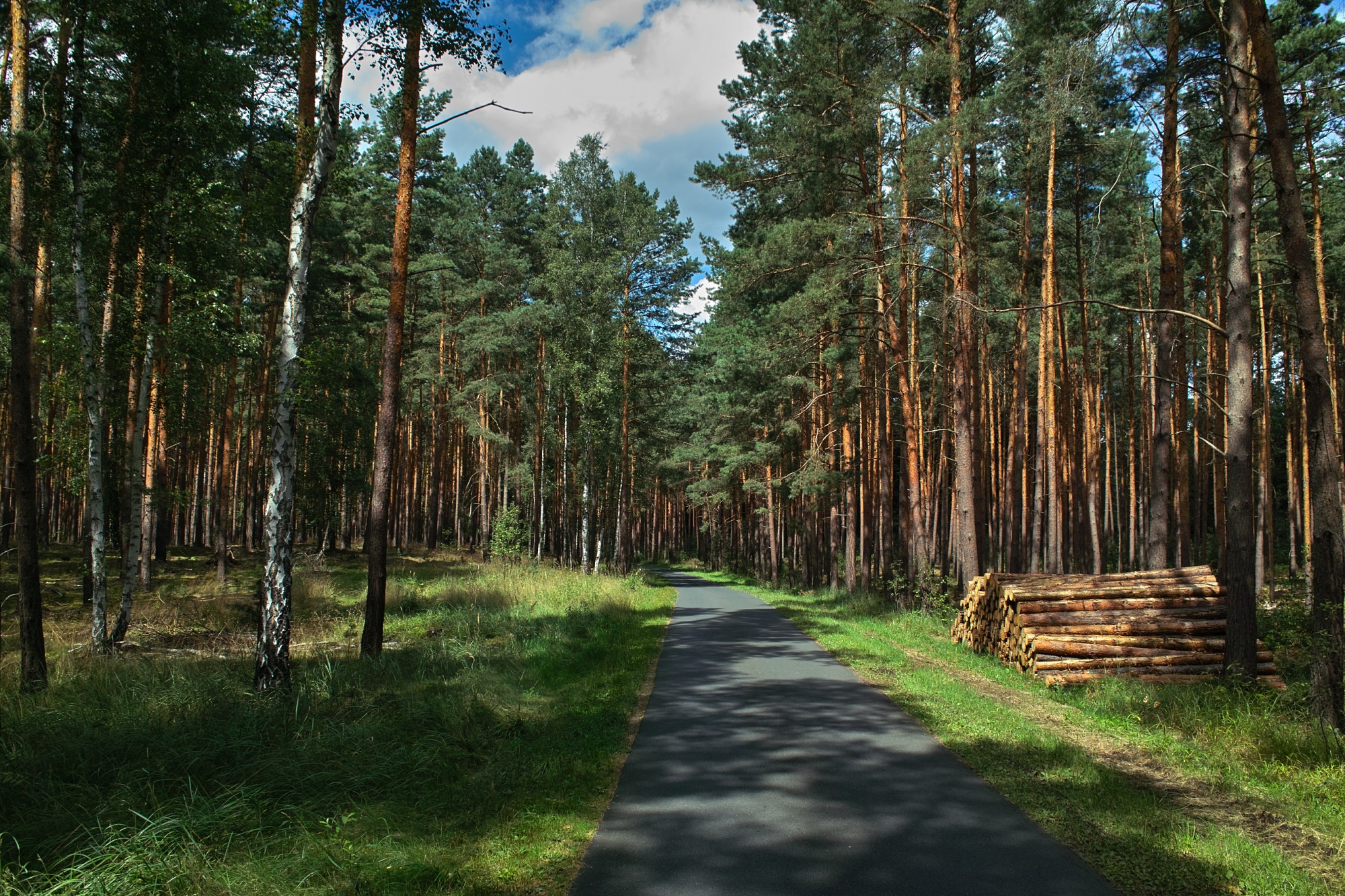


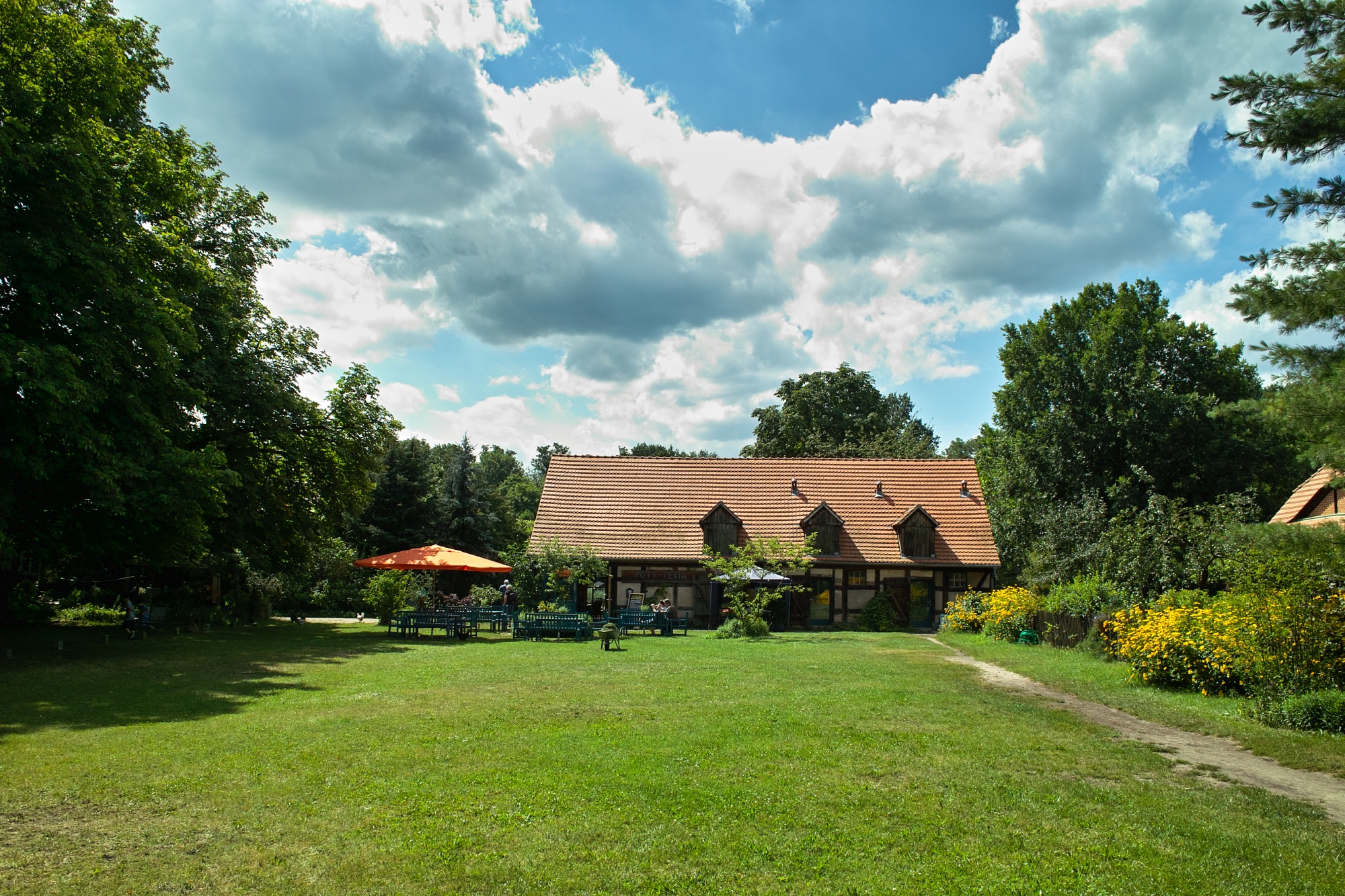
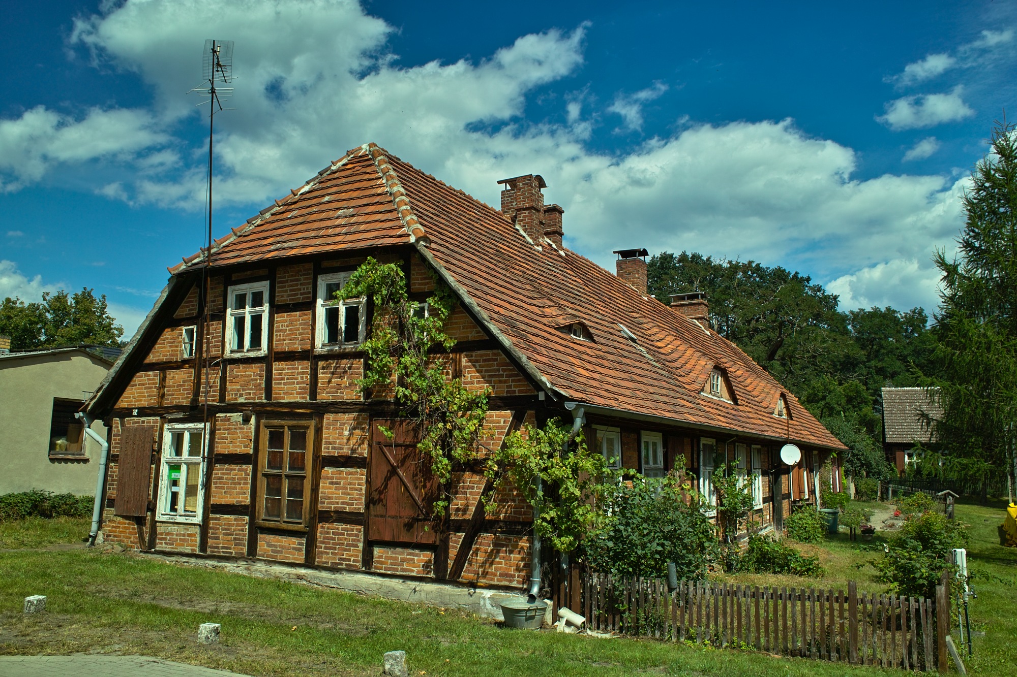




Map of the route “Durch das Baruther Urstromtal”: 122,18 km, 630 m of climbing and 632 m of descent, elevation between 7 m and 78 m. It starts at 52.30010, 13.72133 and ends at 52.29668, 13.62872 (latitude, longitude).